After hiking the North Valley Trail along Quantico Creek last Wednesday, we haven't gotten out as much as we'd like because we're helping our son, daughter-in-law and grandson prepare to leave for a new job overseas. We were off duty today, so we decided to try another trail in Prince William Forest Park. This trail followed the South Fork of Quantico Creek, and led us from one of the parking areas, three miles along the creek, to a man-made lake near two cabin camps (more on that later).
Our trail started out near a shorter trail known as the "Algonquian Trail" because local tribes of the Algonquian Nation had lived and hunted in this region and followed trails along this creek:
Much of the trail runs along the South Fork of Quantico Creek, and it showcases the geology of the area, including these blocky cliffs of ancient volcanic stone:
The terrain is rolling, having been eroded over millennia by floodwaters and runoff. At one point, we could see the uneroded shoulder of one old formation, which to us looked like the back of a sleeping dinosaur:
While the trail followed the north bank of the creek, we crossed numerous bridges spanning tributaries. Here, David admires one of the newer bridges:
At this time of early summer, the streamside vegetation was lush, and a number of sections of water were open and free of deadfall:
In one open section of the stream, Kathy spotted this larger fish, which might have been a young bass, well disguised as he held among rafts of vegetation to snare morsels of food as they floated downstream:
We were astounded as how huge the rootball of this fallen old tree was. The woods harbored a number of very old hardwood trees along with much younger ones.
Most of the Spring blossoms are past their prime, but we did spot this beautiful wildflower, and Kathy picked some early-ripened raspberries, most of which are not yet due for another week or two. We resolved to come back in a short while to see if we can pluck some perfectly red, ripe ones!
Many sections of the trail boast the original stonework of the Civilian Conservation Corps, or CCC, which constructed the trail, but in places, more recent improvements, such as this wooden railing, have been added:
Speaking of big old trees, David found another one, and gave it a hug to let it know we appreciate the fact that it's still standing:
The Park abuts Quantico Marine Base. During part of our hike, we heard a series of helicopter-type noises overhead, and finally got a glimpse of one of the craft, which was an Osprey, presumably practicing maneuvers:
The noisy activity above didn't seem to disturb the bucolic calm below, however, and we found placid beauty everywhere we looked along the stream:
Nearing the lake, which was to be our lunch spot and turnaround point, we passed this arching footbridge, which is of quite a unique design. We learned later that it was built by the Sierra Club as a demonstration project.
Here is another view of the bridge from below along the Creek. See if you can spot Kathy peeking out from atop it:
Just after the bridge, we reached the spillway of the dam that impounds Lake 2 and 5. It was hard to get close enough and in an appropriate location to get a good photo, but the one below should give you an idea how high and impressive it was for such a small stream:
Prior to its establishment as Prince William Forest Park, the park's land was known as the Chopawamsic Recreational Demonstration Area. Recreation Demonstration Areas (or "RDA"s) were conceived in the 1930's to make outdoor resources available to inner-city residents. The CCC started work on the Chopawamsic RDA in 1935, building five cabin camps in the park for use by urban youth groups and welfare agencies. During World War II, the park and cabin camps used by the Office of Strategic Services as a training grounds for recruits. Today, the cabins can be rented out by different groups and individuals.
Passing the dam and spillway, we reached Lake 2 and 5 itself, so called because it was constructed by the CCC for recreation by users of Cabin Camps 2 and 5. The photo below shows an old dock presumably used for boating and to contain a swimming area for campers. It was on the opposite side of the lake, which was a further hike than we were planning, so we didn't have a chance to walk out on the dock and check out the Cabin Camp.
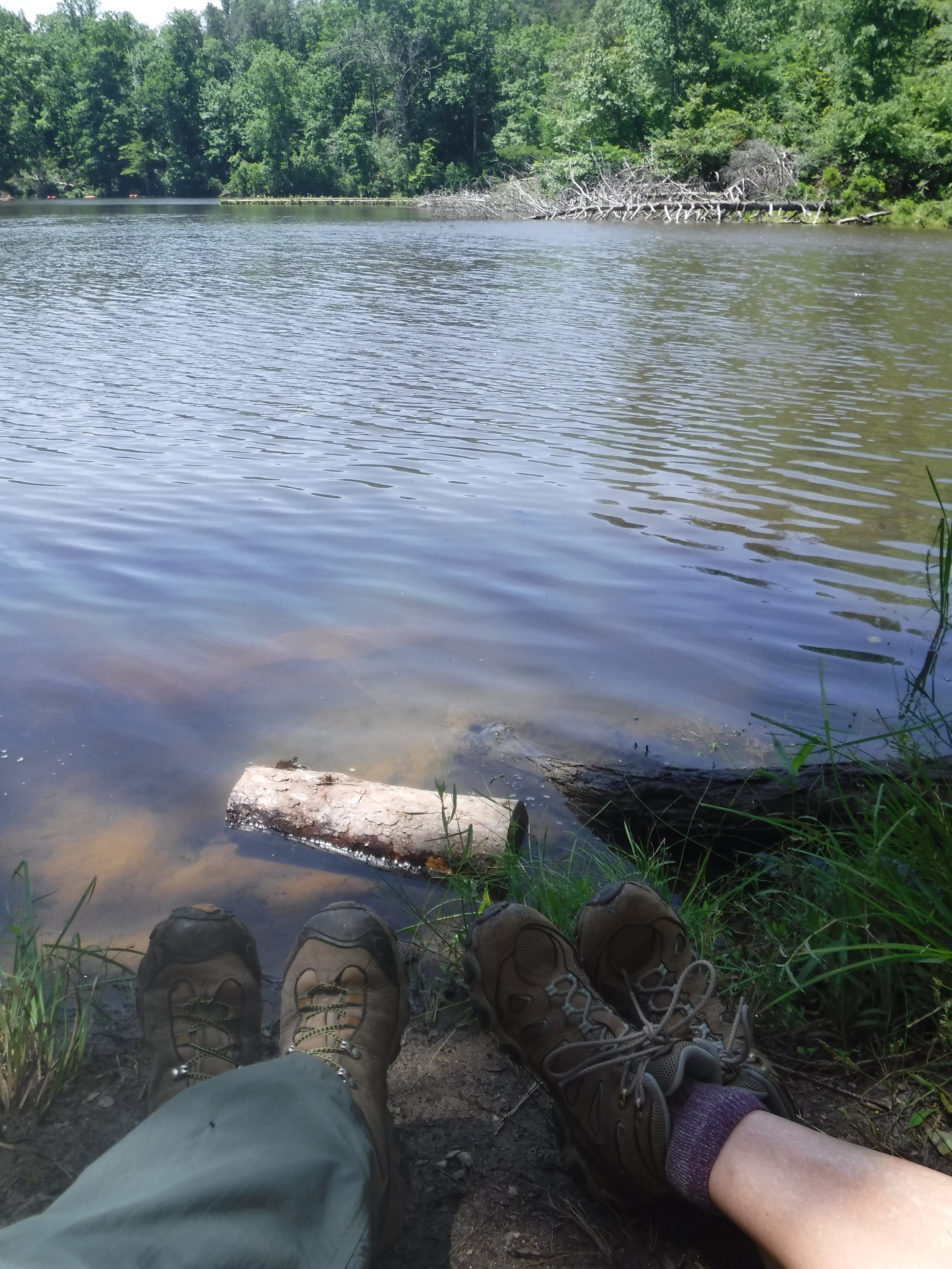
We explored the far end of the lake and returned to a pretty little postage-stamp beach to rest, admire the view, and eat our lunch --
-- before returning the 3 miles back to our trailhead. The day was relatively cool, in the mid-70's, and with low humidity, so, with a light breeze and the shade of the forest, we had a most enjoyable sojourn.
Stay healthy and happy my friends!


No comments:
Post a Comment
Note: Only a member of this blog may post a comment.