Monday, November 7, 2022
Hi Blog!
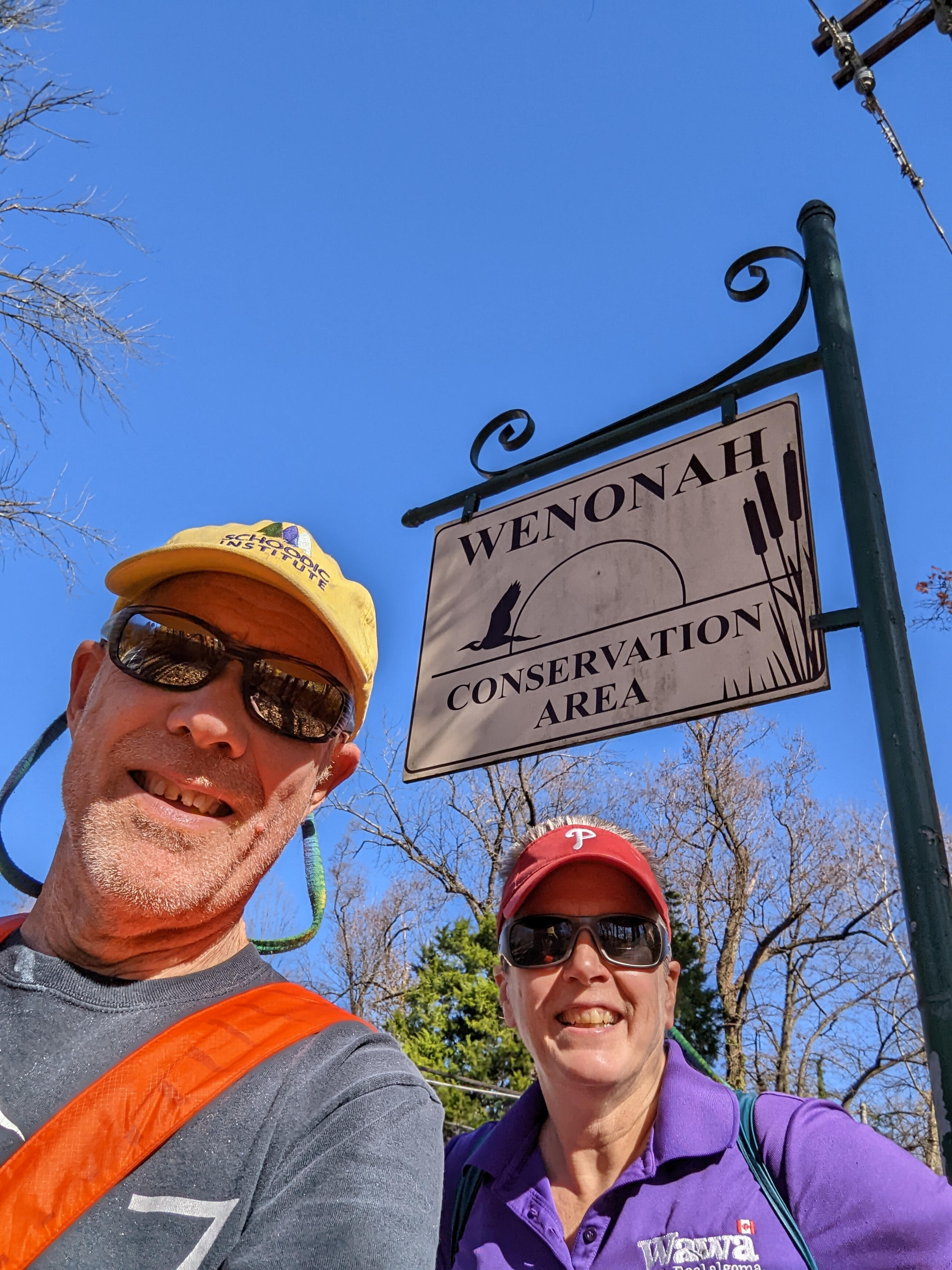
After a weekend of family visits, it was time to hit the trail again. Kathy just picked up new orthotics for her day hikers, so we were looking for a short hike, perhaps around a small lake or along a stream, to break them in. We turned to All Trails, as we often do when looking for local hikes. We came across the Mantua Creek Trail in the Wenonah Conservation Area.
We found the trailhead parking, but were a little confused as to which way to go from there.

We decided to check out the kayak launch just in case we get a chance to come back and paddle. This area was once the location of several boat landings for area farmers to ship produce and lumber to the Philadelphia market. This activity started before the Revolutionary War and continued for over one hundred years. It's hard to imagine how busy this area must have been.

The Wenonah Environmental Commission is a specialized branch of the Wenonah, New Jersey borough government which is charged with preserving Wenonah's unique natural resources for the enjoyment of local residents (and us). WEC manages 135 acres of conservation land, which is over 21% of the borough's land area. Within these areas, the borough maintains over six miles of hiking trails, including 40 bridges over various bodies of water.
As most of you know, Kathy is crazy about berries. We actually came across a berry we have never seen before, the American Strawberry Bush. This bush is a native woodland plant found in forested or woodland areas as an understory plant and often in swampy areas. It has very unusual flowers and even more unusual fruits. In late spring or early summer 5-petaled creamy yellow-green flowers appear that then develop into very showy pinkish-crimson ball-shape, strawberry-like bumpy pods that burst open to reveal bright orange berries while the green foliage morphs into a yellowish green shade and finally turns to shades of pink and red. We found several of these bushes and they were each putting on a show.

We lost count of the number of bridges we crossed, but here is one that covered a really deep canal.

We stopped at the rest area on Clay Hill. In 1861, the West Jersey Railroad extended their line from Woodbury to Glassboro. The Mantua Creek was crossed at this point. In 1871 the railroad tracks
were moved further upstream.

From Clay Hill, we took in a local art installation. We are not sure of it's official title, but we named it "The Lost Chairs of Mantua Creek."

Mantua Creek drains over 50 square miles of Gloucester County. From its headwaters near Glassboro, Mantua Creek flows northwest for 18.6 miles to the Delaware River at Paulsboro. In this section, the creek flows through gently rolling, wooded terrain marked by a number of small lakes.

During the Revolutionary War there was a skirmish between the county militia and a British foraging party in this area. We saw no foragers today.

However, we did see this little snake snaking his way across the trail.

The weather has been so warm, we could almost believe it was summer if it weren't for the falling leaves. Even the trees were wilting in the heat!

We soon came out to a clearing. The trees in this section looked like they were barely hanging on. As it turns out, in August 2021, Hurricane Ida spun up a tornado that uprooted trees along a section of the trail. It was estimated that the town of Wenonah lost over 800 trees.

As we crossed under the "new" railroad trestle, we came upon a fisherman hauling in his latest catch. It was his 10th fish. This time of year, they are just gobbling up tiny worms.

At this point in our hike, we left Mantua Creek, following the railroad right-of-way and headed over to the Monongahela Brook watershed. The fall colors were popping.

This trail parallels the Monongahela Brook, crossing over an embankment and then a 100-foot long Bog Walk which traverses the site of the former Greene’s Lake. Sections of the Monongahela Brook Trail were originally part of a trail used by Native Americans.

After two miles of hiking, we decided to make Comey's Lake our turnaround point. In 1890, Camel’s Back Run was dammed up by the Wenonah Park Association creating a lake and picnic area for the new town of Wenonah.

Title passed to Roberty J. Comey and he further developed the property. This area was dedicated as a conservation area in the 1960’s. Some of the largest oak and tulip poplar trees in the town are in this wooded area. A Tea House, amphitheater and a remnants of the old bridge over Camel’s Back Run, were all features of the Robert H. Comey Estate.

The beautiful image below was brought to you by accident. As we started our return trip, Kathy began working on a haiku to include in the blog. She was so busy ruminating, that she missed the turn to the Monongahela Brook Trail and started up the George Eldridge Trail. Eagle eye Dave noticed houses in the distance that we hadn't passed on the way. A quick check of the GPS confirmed that we missed a turn. On the way back, we stopped at the lower bridge of Monongahela Brook to snap this photo.

Back on the correct trail, Kathy spotted the blue heron she had seen earlier in the day. This time, the late afternoon light was just right to catch a photo.

A deer did cross our path, but she was too quick for a photo. However, these ducks were more than happy to pose for us.

We leave you with the haiku that almost got us lost:
Nuts cover the trail.
Footsteps crunch, the hikers prevail.
Scurry, squirrel, time's short.
No comments:
Post a Comment
Note: Only a member of this blog may post a comment.