Friday, October 29, 2021
Hi Blog!
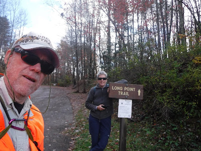
We did a lot of driving yesterday in order to get in our visit to New River National Park before "stormageddon" hit us. We just beat the rain, which poured on us all night and into the morning. After lunch today, the skies cleared and we had a little time to explore some more. However, we had covered most of the New River National Park that was close to us. The other visitor centers were more than an hour and a half drive away. Rather than endure three more hours of driving, we decided to find something closer to camp. Just 12 miles from camp was the trailhead for the Long Point Trail, which promised views of Summersville Lake
Summersville Lake is West Virginia’s largest lake. It has over 2,800 acres of water and 60 miles of shoreline. Boating, water-skiing, swimming, fishing for large and smallmouth bass, walleye, panfish, and catfish, (trout are stocked below the dam in the spring and fall) scuba diving, picnicking, hunting, hiking and biking are the favorite activities enjoyed by nearly one million visitors annually.
We are here!
Summersville Lake is formed by the rock-fill Summersville Dam on the Gauley River, south of Summersville in Nicholas County, West Virginia. Its maximum depth is 327 feet. The lake was constructed between 1960 and 1966 by the United States Army Corps of Engineers in order to control flooding in an 803-square-mile watershed along the Gauley River and the Kanawha River. At 390 feet tall, 2,280 feet long, and containing 12,000,000 cubic yards of dirt and rock, the dam itself is the second-largest rock-fill dam in the Eastern United States. President Lyndon B. Johnson dedicated both the dam and a new Summersville Post Office on September 3, 1966.
The trail took us through a classic Appalachian hardwood forest, home to one of the most diverse collections of birds in North America. The trail is well marked, even if some of the blazes are upside down!
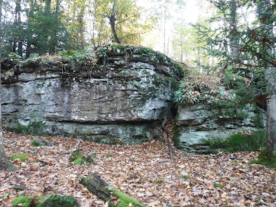
We stopped to admire this hanging garden:
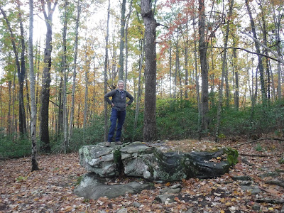
Dave asked Kathy to pose on this rock. However, it was too wet to lie down in any type of seductive pose. (Dave was very disappointed....)
The Army Corps of Engineers wanted to make sure we knew the Trail Ends Here! Of course, that didn't stop us from venturing out onto the the rocky overlook.
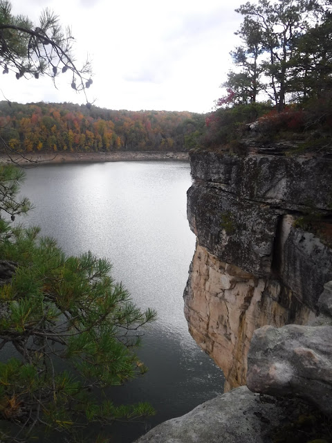
The sandstone cliffs are impressive.
Don't jump! Some of the cliffs at Summersville Lake range from anywhere between 40 and 60 feet high. People were injured after jumping off a 52 foot high cliff. It is now illegal to jump off the cliffs.
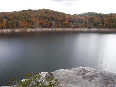
We were treated to three different views of the lake as it wrapped around Longpoint:
While Dave was busy taking photos, Kathy sat far back from the precipitous ledge.







No comments:
Post a Comment
Note: Only a member of this blog may post a comment.