We came to the North Maine Woods to visit Baxter State Park and try to climb Mount Katahdin. Well, due to not being able to get a parking reservation for any of the days of our stay, we failed at the latter goal. In contrast, the other blogs from this stay will show you we got to know Baxter State Park much better than we expected to, and enjoyed much that it has to offer. There is more we could explore in the park, but, on the other hand, we feel we've explored it amply.
A completely unexpected bonus for this stay was our chance to visit Katahdin Woods and Waters National Monument -- which we hadn't even known existed, let alone that it was closer to our campground than Baxter State Park!
Because we grew so enthusiastic about this new National Monument, I'm going to include below, nearly verbaitim, excerpts from the Wikipedia article on it:
Katahdin Woods and Waters National Monument spans nearly 137 square miles of mountains and forestland in the North Maine Woods, including a section of the East Branch Penobscot River. It adjoins, and thus helps protect, the eastern border of Maine's Baxter State Park near Katahdin Lake (more on that in another blog entry). Human settlement in the region dates back 11,000 years, with Native peoples having relied on the woods and its waterways for their livelihood and even transportation. The Penobscot Indian Nation, along with other Wabanaki tribes, still regard the Penobscot River as an important landmark of their culture. The Maine Woods were made famous by the writings of Henry David Thoreau in the 1850s, and later saw such visitors as Theodore Roosevelt and Maine Governor Percival Baxter, the founder of Baxter State Park.
Roxanne Quimby, a co-founder of US company Burt's Bees, and her foundation, Elliotsville Plantation, Inc., began purchasing land near Baxter State Park in 2001 before formally announcing in 2011 their hope that the land would one day become part of a national park. However, following opposition by state and federal politicians to the creation of a national park, Quimby changed her focus to a national monument, which could be created with a proclamation by the president under the Antiquities Act. On August 23, 2016, they donated the land, plus $20 million to fund initial operations and a commitment of $20 million in future support, to the federal government. On August 24, 2016, the eve of the National Park Service centennial, President Barack Obama signed a proclamation forming the Katahdin Woods and Waters National Monument. Within a year, visits to Katahdin monument quadrupled to approximately 30,000 people from 45 states and 9 countries. In 2020, the International Dark-Sky Association designated Katahdin Woods and Waters National Monument as the first International Dark Sky Sanctuary on the Eastern Seaboard.
Lastly (and this previews the next blog entry), once we learned the Monument existed, our research revealed that it presently hosts the first miles of the International Appalachian Trail, one of our favorite hiking routes in Canada. This sealed the deal. We needed to visit the Monument.
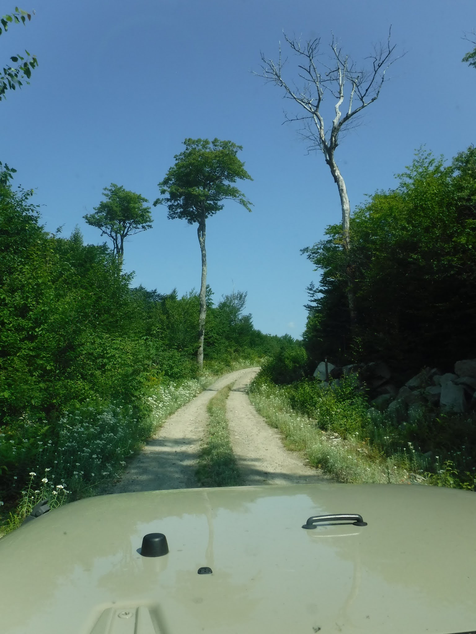
To get to the Katahdin Woods and Waters National Monument, we drove north on Maine Highway 11 from our campground in Medway, turning west on Swift Brook Road, some 10 miles to the Monument's Loop Road, a nearly 19 mile drive through young forest (more recently logged than the land comprising its neighbor Baxter State Park). We crossed several streams -- most notably the Whetstone Falls of the East Branch Penobscot River, which were impressive:


While the Monument Loop Road does not boast its own campground, signs state that camping is possible by permit. There is also a formal boondock campground, Sandbank Stream Campground, just before the Loop Road.
We combined the Loop Road drive with a hike on the southernmost miles of the International Appalachian Trail. More on that next.
No comments:
Post a Comment
Note: Only a member of this blog may post a comment.