Friday, April 21, 2017, was our last full day in the Sedona area. After a couple of 9 mile hike days, we were looking for something a little shorter, but still scenic. We pored over the hiking materials we received from the Visitor's Center and decided on two short hikes. The first would be to the Devil's Bridge and the second would be around Red Rock State Park.
After researching the Devil's Bridge hike, we discovered the trailhead could be accessed from the Chuckwagon Trail. This would save us over a mile of walking on a sandy dirt road and cut down on the crowds on what promises to be a very popular hike. Here's Kathy at the trailhead.

A short spur trail led us from the Mescal Trailhead to the Chuckwagon Trail. As we crossed over Dry Creek, we were surprised to find it wasn't dry at all. The shallow water made great reflecting pools.

The wagons that use to traverse this trail cut wide swaths through the red rocks.

After hiking out of the creek drainage, we were rewarded with a 360 degree view of red rock country.
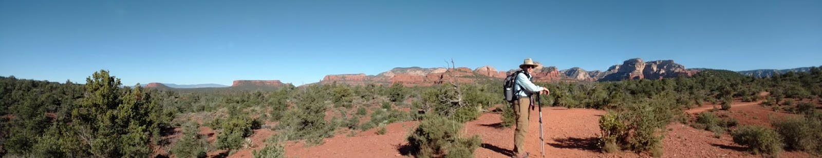
We got a good look at Capitol Butte. The Devil's Bridge is up there somewhere.

After a short mile, we found the cut-off for the Devil's Bridge Trail. The first part of the trail follows a wide forest road. Before long, we began to climb. Several scenic overlooks give us some amazing views of the red rock buttes.

After we waited our turn, a fellow hiker snapped this photo of us crossing the Devil's Bridge.

We took this photo in that rare moment when there weren't dozens of tourist posing for pictures.

After snapping a few photos for other tourists, we hiked down below the bridge. Kathy agreed to provide some scale.

Devil's Bridge selfie!

On our hike back, we saw the valley in a different light.

The hike back was very social; we hiked the first part of the way with a young couple and compared notes on travels; in the second half, we ran into dozens of hikers starting out toward Devil's Bridge.
It didn't take long to make it back to our car. Since we got such an early start, we were ready to head over to our next stop by 10:30. As soon as we arrived at Red Rock State Park, we took the opportunity to rest and watch the park videos on the Sedona area. We then asked the Park Ranger where a good lunch spot would be. He recommended the Kisva Trail.
We started our hike by trekking down to the banks of Oak Creek. The creek meanders through the park, creating a diverse riparian habitat.

The meadows on the far side of the creek allowed great views of the red rocks surrounding the valley.

The famous red rocks of Sedona are formed by a layer of rock known as the Schnebly Hill Formation. The Schnebly Hill Formation is a thick layer of red to orange-colored sandstone found only in the Sedona vicinity. The sandstone, a member of the Supai Group, was deposited during the Permian Period (299 to 251 million years ago). The red color is due to the presence of hematite (iron oxide, otherwise known as rust) that stains the sandstone. Love those rusty rocks!

We were sorry to see our hike end. We enjoyed our visit to the Verde Valley and Sedona area. We look forward to coming back sometime. Tomorrow, we head north, working our way to Lake Mead.
No comments:
Post a Comment
Note: Only a member of this blog may post a comment.